Map & Route Analysis Worksheet Generator
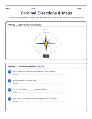
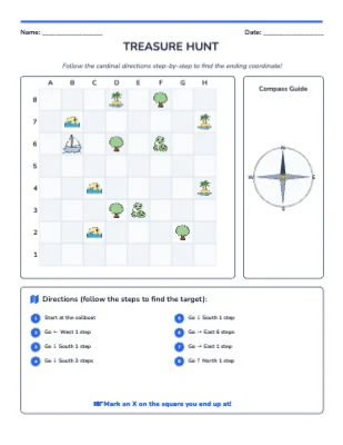
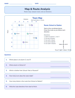
The Map & Route Analysis generator creates geography worksheets featuring a custom illustrated map with labelled landmarks, a grid coordinate system, and a plotted route — paired with questions asking students to read coordinates, trace directions, estimate distances, and describe spatial relationships. The activity builds real map-reading skills aligned to C3 geography standards for Grades 3–6. Answer key and teacher guide included.
Grade Levels
What's Included
Curriculum Standards
Use maps, routes, locations, and spatial patterns to answer geography questions.
Draw a picture graph and a bar graph (with single-unit scale) to represent a data set with up to four categories. S…
Draw a scaled picture graph and a scaled bar graph to represent a data set with several categories. Solve one- and …
Topics
Frequently Asked Questions
Is the Map & Route Analysis worksheet generator free?+
Yes — sign up free and start generating Map & Route Analysis worksheets right away. Paid plans add higher limits and premium features.
Does it include an answer key?+
Yes. Every Map & Route Analysis worksheet is generated together with a matching answer key page, plus a teacher guide with objectives and extension ideas.
What grade levels is the Map & Route Analysis generator for?+
It is designed for Grade 3 – Grade 6. You can adjust the difficulty and options to fit your students.
Can I customize the worksheets?+
Yes — every generated worksheet opens in the built-in editor, so you can change the title, instructions, fonts, colors, and layout before printing.
Can I make more than one version?+
Yes — each generate produces a fresh worksheet, so you can print unlimited unique versions for practice, homework, and assessments.